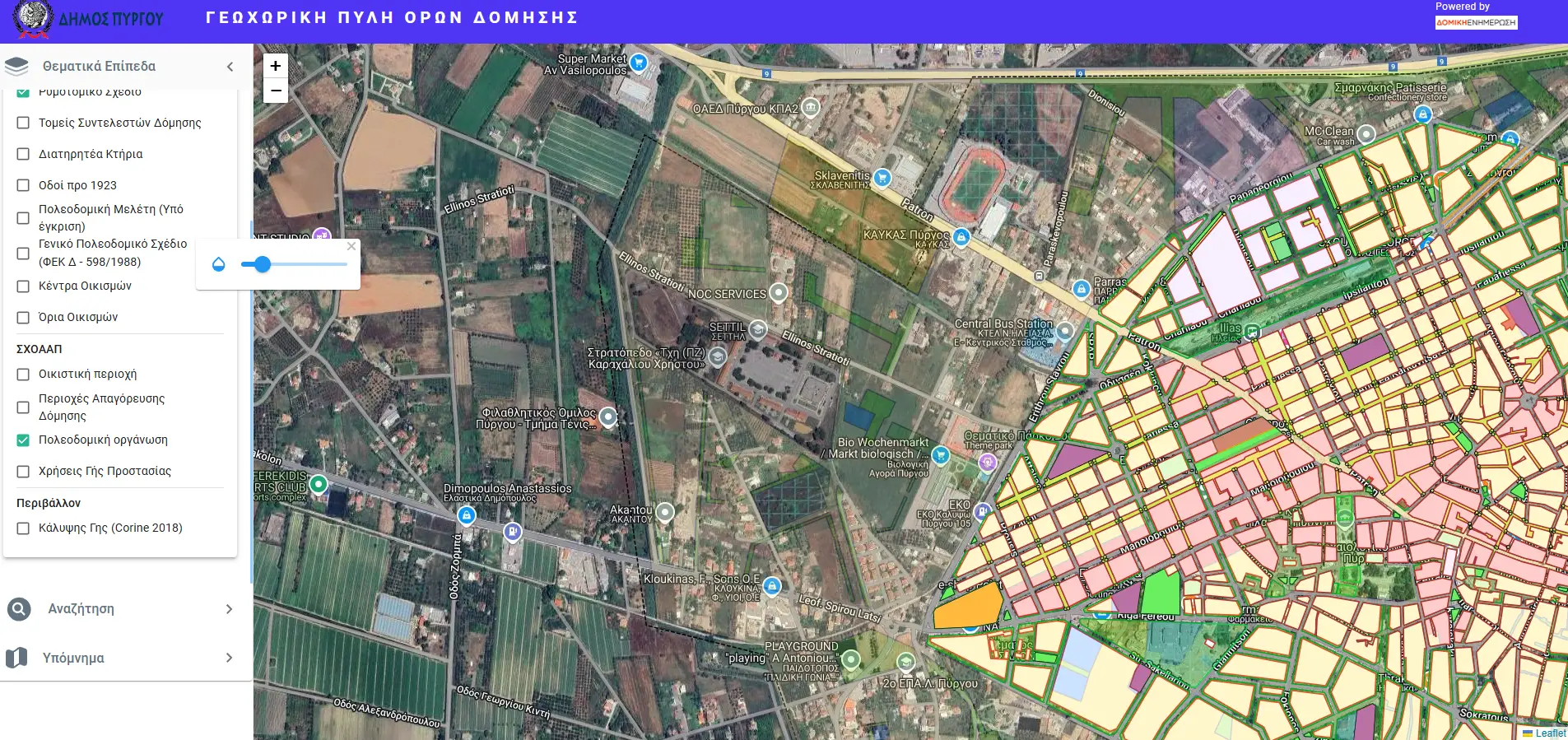
Description
The geospatial platform for the Municipality of Pyrgos was developed using open-source software, providing valuable tools for local authorities, the general public, and professionals such as engineers and urban planners. This platform enables users to easily monitor the current urban planning status and land use across the wider region of the municipality.
With a single click, users can access detailed information on building regulations and the historical evolution of these regulations. Additionally, the platform offers advanced functionalities such as descriptive searches by street or block and spatial queries, simplifying the process of identifying plots suitable for investment purposes.
A transparency tool for thematic layers allows users to overlay multiple data layers simultaneously, facilitating comprehensive spatial analysis. This functionality makes the platform an indispensable resource for informed decision-making in urban planning and development.